

The LEADNAV GPS application
OFF-THE-GRID NAVIGATION, COORDINATION, AND MISSION PLANNING
LEADNAV GPS is an Apple iOS application that focuses on mobility into dismounted foot patrol operations in remote environments with planning, coordination, communication and GPS navigation for those who work and play “off the grid”


“Putting capability in the hands of those who work and play “off the grid””

LEADNAV GPS
Apple iOS Application
At the core of operations we focus on software and application development
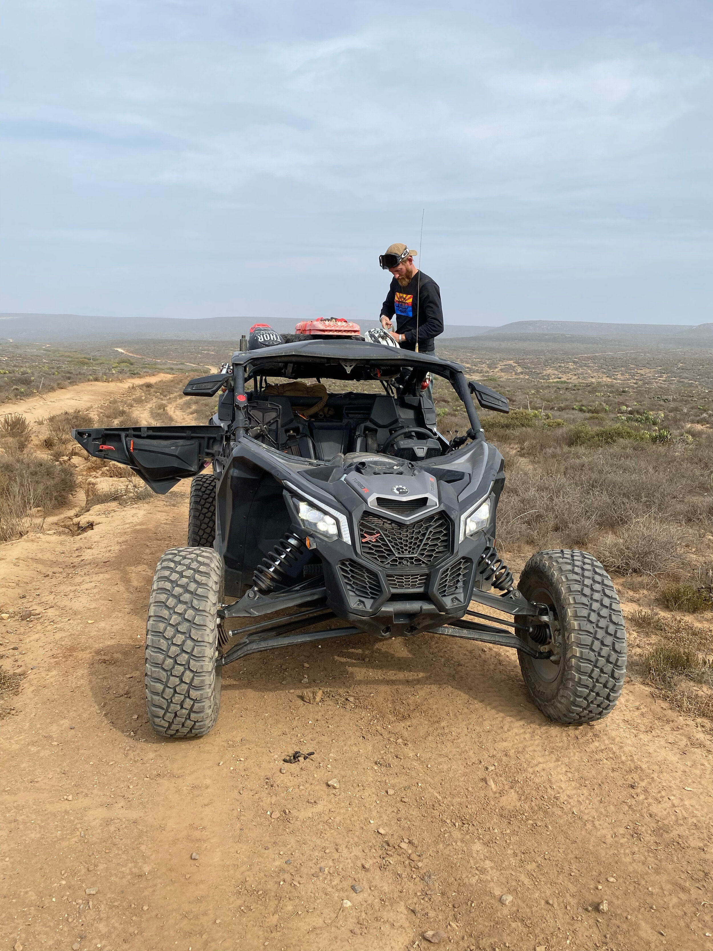
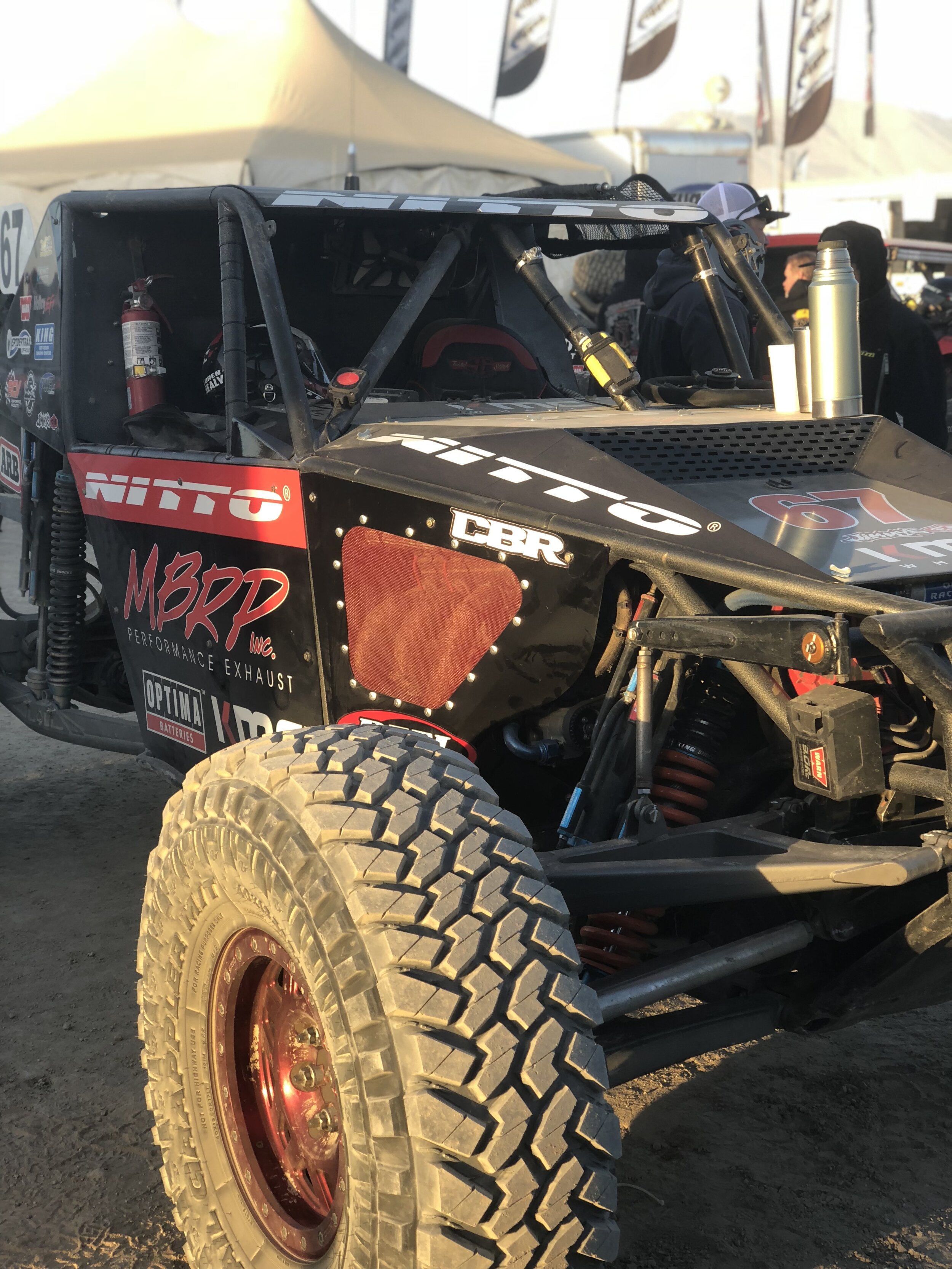
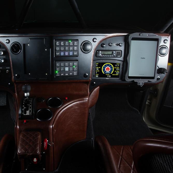
We developed the LEADNAV GPS application to provide an improved GPS interface dedicated to trip planning and navigation for those operating in an off-road environment.
Breaking down Routes, Tracks and Markers
Collections
LeadNav organizes your data into "collections." A collection can be for anything, but it's easiest to think of a collection as a specific event (offroad race, music festival) or a place (national park, ranch). Each collection is made up of three things: routes, tracks, and markers.
ROUTES
Routes are the foundational feature of LeadNav. A route is the biggest advantage LeadNav offers over all other GPS systems. Routes contain audio waypoints.


TRACKS
Tracks are breadcrumb-style path recordings that you create as you move through an area. Tracks are intended to be converted into routes.
MARKERS
Markers represent points of interest. They offer no navigational capability, but are great for identifying things like "Front gate" or "Remote Pit A".

LEADNAV GPS iOS Application features
ROUTE BUILDER
Quickly construct routes with the tap of a few buttons
Import existing tracks or routes and edit them
Add audio waypoints, reverse route direction, or cut/splice/merge sections of different routes

AUDIO WAYPOINTS
Drop in pre-programmed turns and danger notifications or type your own
Receive 15 second-out and 5 second-out voice notifications for each audio waypoint you've added.
Routes with audio waypoints can easily be shared to other LeadNav users
OFFLINE AERIAL IMAGERY
Upgrade to any of LeadNav's in-app purchases and you'll instantly have the ability to download and save street, topographic, or aerial imagery onto your device, so that you can view it when you're offline.
LOCATION TRACKING
Quickly share your contact information to other LeadNav users to view each other's location in real-time.
Two modes for location tracking: Standard and Rapid
Available over wi-fi and cellular networks without any additional hardware
LeadNav also offers worldwide "off-the-grid to off-the-grid" location tracking and communication through integration with the Iridium satellite network. Purchase an Iridium GO! and service plan at our hardware store to unlock this incredible capability!
MAP OVERLAYS
Overlays sit on top of satellite imagery to provide additional information created and supplied by your organization or GIS team.
IMPORT/EXPORT GPX FILES
Import/export via direct download, email, text, Dropbox, or Airdrop device to device
Any GPS file format can easily be converted to GPX using free software
Provides a professional-grade trip and event planning platform to export/share
COMPATABILITY
Available for the Apple iOS iPhone and iPad
Runs the .GPX universal file type allowing you to cross plan and share in/out between outside software
Export your work to other GPS units
Get it now and Learn more through our online training videos

HARDWARE PACKAGES
Custom Manufacturing and Equipment
Custom Packages
Through our in-house design, prototyping, CNC and Additive manufacturing capabilities we can produce custom mobility packages for unique vehicle applications


“Owned and RUN by operators, we have the ability to manufacture based from a deep knowledge and background in special operations requiring mission specific technology and hardware”
Need hardware?
Check out our online custom shop for individual packages or contact us for large custom builds or group orders